This text was automatically translated by a robot. Bad grammar may occur.
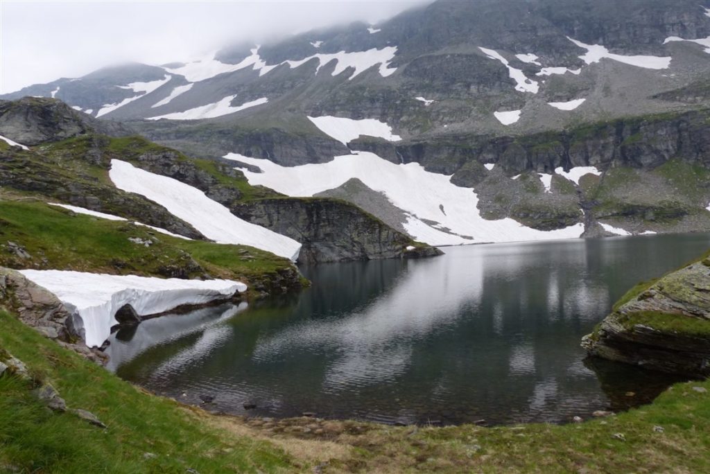
Probably you will ask yourself why I publish a hiking tip on this website even at these absurdly hot summer temperatures-and the answer to this question is given quickly: because during the hike from the Hintersee near Mittersill to the Plattachsee itself in July did not really have a summer atmosphere. Instead, we fought a good part of the hike through pretty gloomy autumnal weather, the descent it rained and the Plattachsee itself was still surrounded by snow. In view of this Witterungsbedigungen, it is not surprising that the area around the Hintersee is particularly popular with Arab tourists and that they stroll around the water with a blissful smile.
Overall, according to my runtastic recording, this hike was 9.72 kilometers long and lasted just under six hours. The average speed of only 1.7 km/h is due above all to the fact that we had to be very careful when descending-after all, we also carried our baby through the adventure. According to the Runtastic recording, the ascent and descent amounted to 992 metres in height. Please refer to the map at the end of this article for details on how to get there.
Despite the bad weather I found the hike scenic yet very appealing-a few impressions of it gives you the slideshow at the beginning of this post. The highlight is of course the arrival at the Plattachsee, but also the waterfalls on the way back invite you to interrupt the not too easy descent for a photopause. All in all, a trip that is definitely recommended-provided you have sufficient experience and security.
