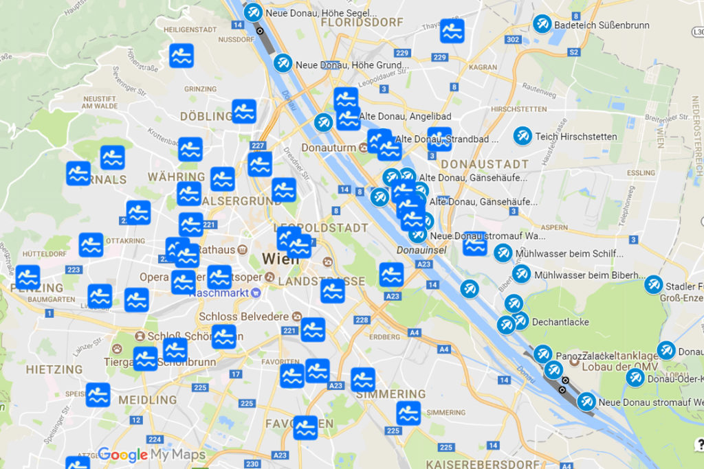
My wife asked me a question that probably haunts the minds of many Viennese in summer: “What’s the quickest way to the nearest swimming pool?” I don’t know very much and I’m not very intelligent. Instead, I have outsourced most of my knowledge and thinking to machines and databases – and that’s why I didn’t answer my wife immediately, but in the evening I simply used the data of the city of Vienna to create an interactive map with which everyone can see where the next swimming pool or bathing area is. And because I felt like it, I also marked the nudist areas on the Donauinsel right away.
You are welcome to click on the map below and play around with it.
Disclaimer: The data are not quite up to date (as of August 2018) and may have changed due to the corona virus. Please check the opening hours and various rules therefore also on the website of the Vienna Baths. I am not liable for accidents and injuries that occur while using the tool.
If you click on the respective location, you will find a link in the description to further information about the swimming pool, or in the case of the bathing sites a link with current information about water quality and other essential things. And if you click on the navigation symbol in the upper right corner of the description, Google Maps will open up, which you can use to plan your journey.
If you like the map and use it often, I would add additional information like photos and other summer activities. If not, then I’m glad that I’ve now created a useful orientation guide, at least for myself.
Datenquelle: Stadt Wien – data.wien.gv.at
